
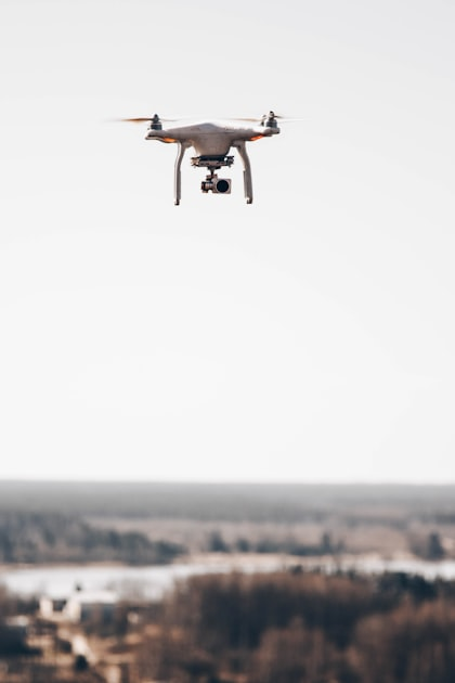
Understanding Drone Mapping
Drone mapping involves capturing aerial images and processing them to create detailed maps. This technology is essential for accurate data collection.
Applications in Real Estate
- Site analysis
- Property boundary mapping
- Development planning